Sentinel-3C: Beautiful Earth Images Have a Practical Job
Europe's new satellite has returned its first images and measurements. The real value will come from watching changes over time.
Estimated CEFR reading level: B2. Technical terms are explained in context, with comparisons between initial results, routine service and long-term evidence. This is an editorial estimate, not an official certification.
Five useful words
British English pronunciation (IPA). Audio uses an available English voice on your device.
instrument /ˈɪnstrəmənt/
nounA device used to measure or examine something.
One instrument records the colour of the sea.
observation /ˌɒbzəˈveɪʃən/
nounInformation obtained by watching or measuring.
Repeated observations reveal changes.
vegetation /ˌvedʒəˈteɪʃən/
nounPlants growing in a place.
The mission monitors vegetation.
milestone /ˈmaɪlstəʊn/
nounAn important stage in a longer process.
The first images are a milestone.
trend /trend/
nounA general direction of change over time.
One image cannot establish a long-term trend.
The story
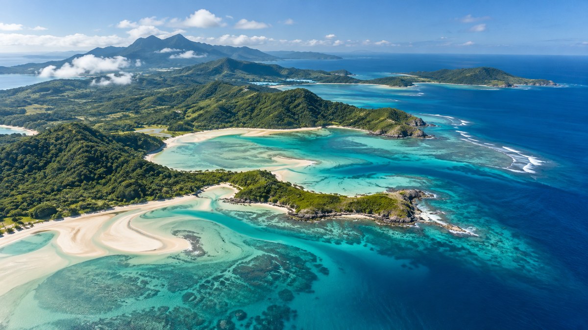
Turquoise seas and snowy mountains look impressive from space. For scientists, however, the first views from Copernicus Sentinel-3C are also a check that new instruments work. The European Space Agency published the images and measurements on 8 October 2026.
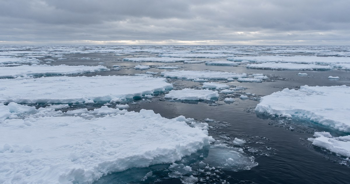
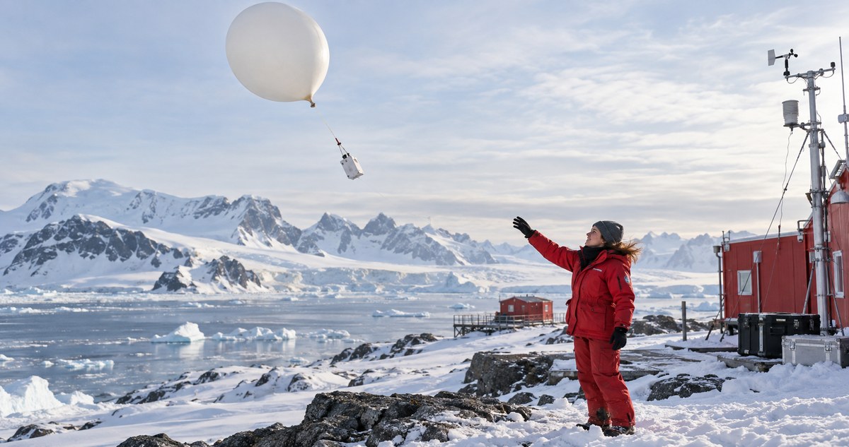
The early pictures, taken in late September, show Italy, the Canadian Arctic and the Caribbean. An instrument that records ocean and land colour produced those views. A separate radar instrument measured sea-surface height and the height of Greenland's ice sheet.
The distinction matters: a colourful picture and a height measurement answer different questions. Repeated observations can help researchers follow environmental changes, rather than relying on one dramatic image. The wider Sentinel-3 mission supports work on marine heatwaves, wildfires and vegetation.
In its announcement, ESA said Sentinel-3C was still being prepared for routine service. Successful first results are a milestone, but they do not mean every test is complete. They also do not establish a long-term trend on their own. The new satellite's practical promise is to extend a continuing record of our changing planet.
Three questions
Try answering before you open the answer. You can use your own words.
- When did ESA publish the first results?
Show answer
8 October 2026.
- What did the radar instrument measure?
Show answer
Sea-surface height and the height of Greenland's ice sheet.
- Why are repeated observations valuable?
Show answer
They help researchers follow changes over time; one image alone does not establish a long-term trend.
Let's talk about it
A few ideas to chat about - pick any that interest you.
- Which part of Earth would you most like to see from above?
- Do pictures or measurements first catch your attention in a science story?
- What change in your local environment would you be curious to follow?
- How much testing would you expect before a new satellite enters routine service?
- Would a beautiful image make you more interested in the data behind it?
Practise a useful pattern
Use while to contrast two scientific tools. Write a sentence comparing the colour instrument and the radar instrument.
Example: The colour instrument produces images, while the radar instrument measures height.
Frequently asked questions
What did Sentinel-3C send back first?
Its early results included images of Italy, the Canadian Arctic and the Caribbean, plus radar measurements of sea-surface and ice-sheet height.
Was Sentinel-3C already in routine service?
In its 8 October 2026 announcement, ESA said the satellite was still undergoing preparation and testing before routine service.
Sources and editorial notes
Original learning article by Poly-Puff, written from the factual sources below. Sources checked on 17 October 2026. The artwork and learning activities were created for this article.
The ESA article was read directly. Its publication date is 8 October; the displayed images were captured on 29-30 September. Commissioning status is attributed to that announcement, not claimed as a new check on 17 October. The generated illustration is not satellite data.